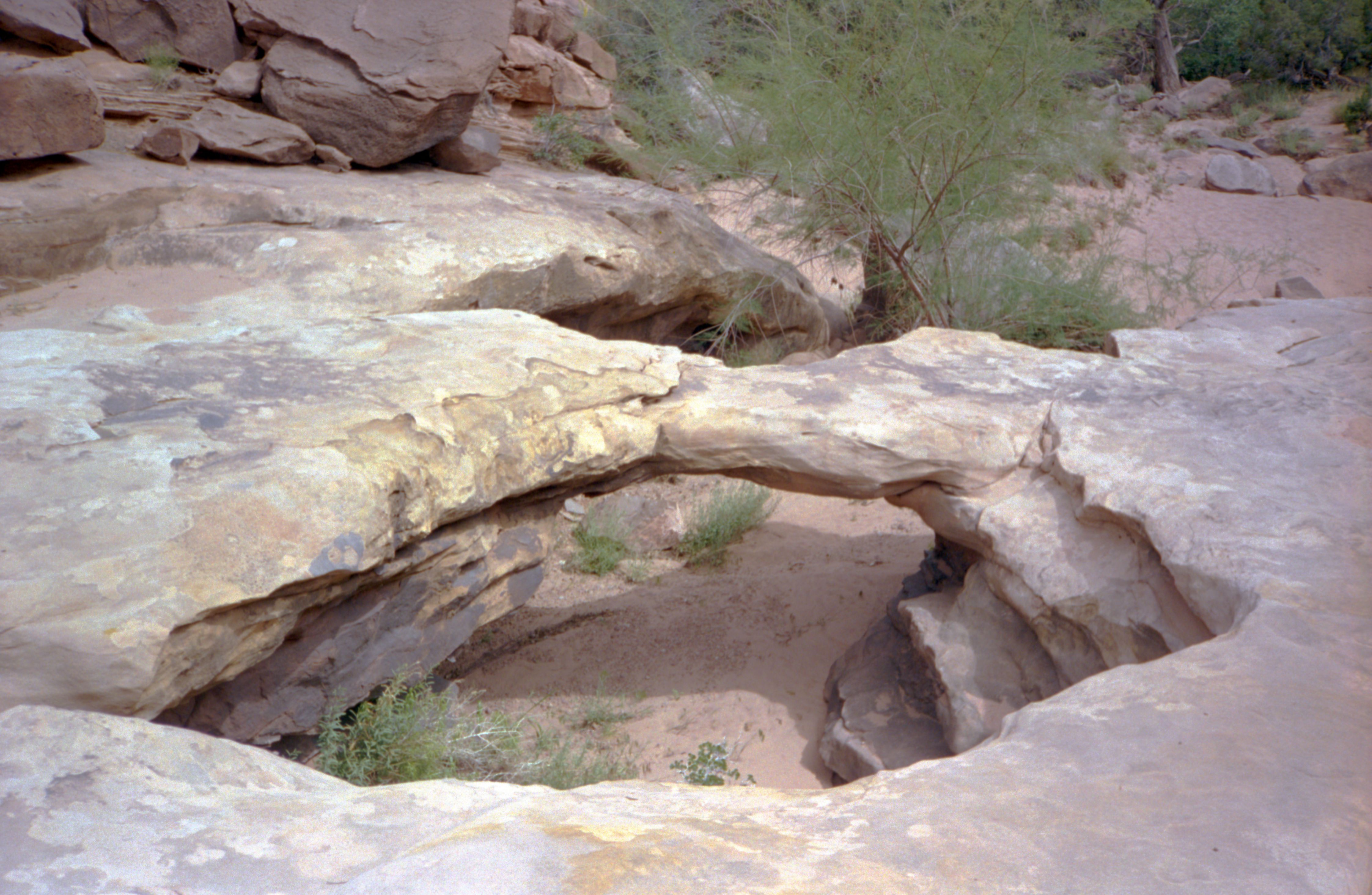
This natural bridge is located on Garfield county and it is spoted at Maverick Bridge on the 7.5 topographic map "Calf Creek", Utah. NABSQNO 12S-463739-4179446
From Escalante River bridge (on scenic byway 12 between Escalante and Boulder), park and hike Escalante Canyon downstream 1.4 mile to Phipps Wash (First canyon on the right). Hike up Phipps Wash for 1/2 mile to the first side canyon on the right. Hike up this drainage to the natural bridge.
