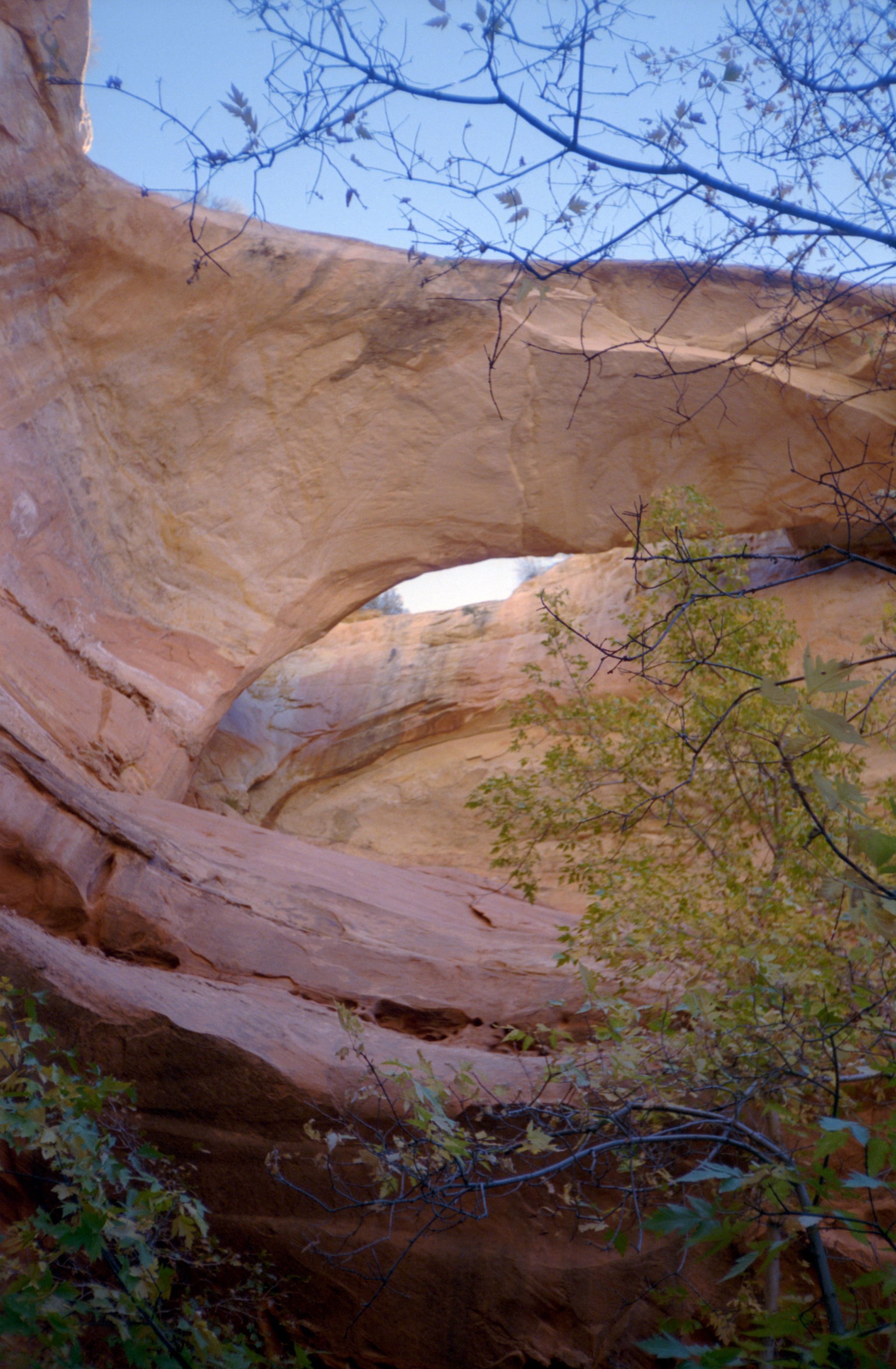
Bowington ArchFrom the confluence of Phipps Wash (see Maverick Natural Bridge), hike Escalante Canyon 1 mile downstream to the large canyon on the left. Hike up this canyon 0.8 mile and turn left on a short side canyon. Bowington Arch is located 0.2 mile up drainage on the top of the cliff. This arch is located at Bowington Arch on the 7.5 topographic map "Calf Creek", Utah.
|
|